Little Silver


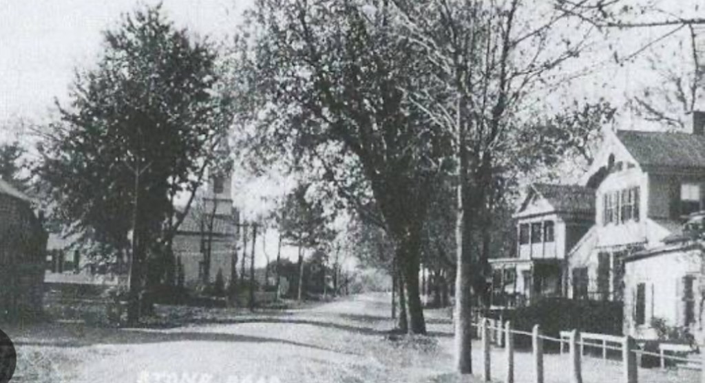
Located 47 miles to the south of New York City, bordering Red Bank, Fair Haven and Rumson, home to 12-acre Parker, Sickles Farm Park, with a population of a cat’s whisker over 6,000 residents, we find the Borough of Little Silver. An exclusive community majestically nestled alongside the Shrewsbury River…a Monmouth County borough which speaks to boating and water sports enthusiasts.

The beginning for Little Silver was that of a quiet agricultural community. With fisheries adding to the borough’s landscape in its earliest days.Little Silver’s history dates back to 1663. To a King’s Land Grant. A land grant from Great Britain by the King of England, King Charles II.

Two years after King Charles’ land grant, a Rhode Island Quaker by the name of Peter Parker settled with his family in what went on to become Little Silver. This, in 1665. 

Our borough’s name of “Little Silver.”

The origin for “Little Silver” came about when Peter Parker named his new settlement in Monmouth County after his father’s Portsmouth, Rhode Island estate. His father’s Portsmouth estate, Little Silver. 

With Parker’s arrival along the Shrewsbury, neighboring settlements forming around Parker’s Homestead affectionately referred to the area as Parkerville. As a tribute to Peter Parker. The Parker Homestead was built in 1720. Built on today what would be Rumson Road, alongside Parker’s Creek.

Parker family descendants resided at the original Homestead for over three-hundred years. The last Parker residing at the original Homestead was Julie Parker. 

The last surviving Parker Homesteader, Julie Parker passed away in 1995. Her death marking an end to 330 years of uninterrupted occupancy at the original Homestead by a member of the Parker family. 

From early settlement, to destination point.

During the 19th Century the emergence of steamboats added to Little Silver’s guest list. With Patten Line Steamboats handling maritime transportation to and from Little Silver.

This topic of steamboat travel and Little Silver connect us to one steamboat captain in particular. A steamboat captain to whom an epoch found within Little Silver’s past is correlated. A steamboat captain whose signature was scripted to Little Silver in the 19th Century.


A steamboat captain: the founding father of Little Silver Point. In 1844 a steamboat captain by the name of John Borden arrived in Little Silver. Relocating to Little Silver from nearby Red Bank. With his arrival in Little Silver, John Borden proceeded to establish Little Silver Point. An unincorporated section of Little Silver. 

Prior to the establishment of Little Silver Point, this peninsula in Little Silver’s northeast corner had been not much more than farmland. And soggy saltwater marshes.

The arrival of John Borden in Little Silver marked the beginning of a transformation for the peninsula. Little Silver Point changed. Taking on a new identity. One scripted by the construction of fancy hotels on the peninsula.

Those early hotels built in Little Silver Point would accommodate visitors coming to a new Little Silver Point. On steamboats. Little Silver’s farms and marshes, no longer defining fabric for the peninsula.

John Borden’s lot in life had always been his pioneering of steamboats. Steamboats let New Yorkers come to Little Silver Point. Little Silver Point became a sought-after resort. Guests arriving in Little Silver Point atop steamboat decks.

John Borden passed his steamboat acumen on to his son, Richard Borden. Cementing the Bordens in Little Silver history, Richard Borden went on to operate Silver Bay House in Little Silver.

Borden’s Silver Bay House became the place to go for New Yorkers who came to Little Silver on Patten Line steamboats. 

Patten Line’s path to Little Silver’s riverside hotels was the Shrewsbury River. The Patten Line connected Monmouth County to Battery Park from the end of the Civil War to the 1930’s. 

It was a sixty year-run for those Patten Line steamboats which started their voyages in Battery Park. Arriving in Monmouth County on the Shrewsbury River.

Accompanying 19th Century steamboat travel, the advent of passenger trains contributed to Little Silver’s accessibility.

Construction of The Little Silver Train Station occurred in 1875. Little Silver’s station was built by the New York and Long Branch Railroad.

The original station in Little Silver served passengers for fifteen years. From 1875 through 1890. 

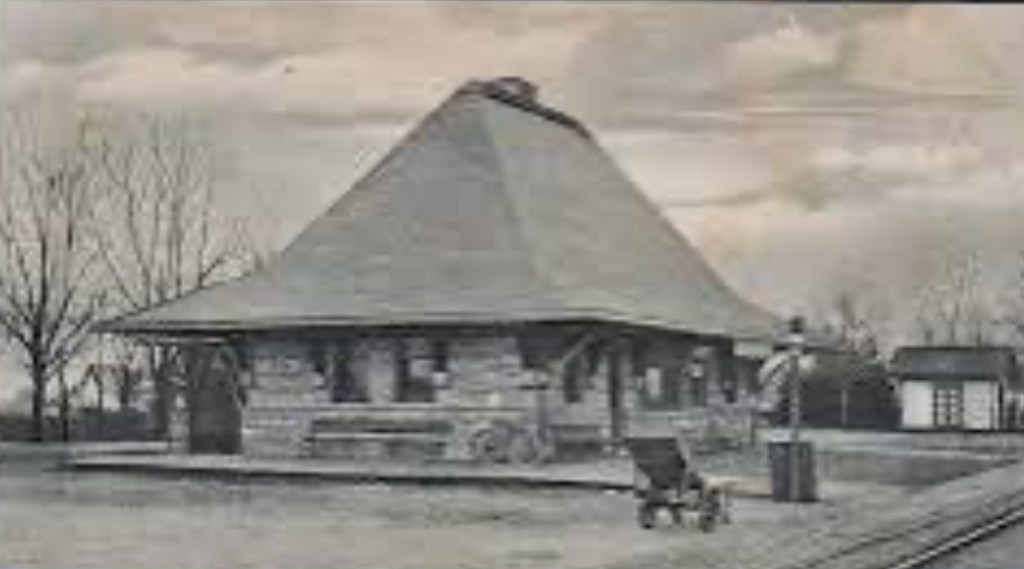
The original station was replaced in 1890 by the structure which still stands along tracks in Little Silver to this day. At the intersection where Branch Avenue meets Sycamore Avenue. 

The one-hundred thirty-six year old station we find in Little Silver at 705 Branch Avenue in 2026 gets commuters to Newark’s Penn Station. And New York’s Penn Station. 

The Little River Train Station, with its sandstone exterior and its distinct slate roof, was the creation of a famed architect from Brookline, Massachusetts.


The Little River Train Station architectural design is attributable to Henry Hobson Richardson.

Henry Hobson Richardson’s contributions to the American architectural landscape include The Little Silver Train Station, Trinity Church and the Boston Public Library.

Up through 1923 Little Silver had been part of Shrewsbury Township. Little Silver became its own municipality through an act of the New Jersey legislature in March of 1923.

Little Silver’s history is intertwined with the Shrewsbury River. This connection of borough to waterway, foretelling still Little Silver of today.

In 2026, nearly 10% of all homes in Little Silver touch the banks of the Shrewsbury River. 

Four hundred years after King Charles’ land grant to this riverside settlement, the river remains an anchor for the settlement.

Long, long ago, the Shrewsbury River functioned as a maritime agent for those visiting Little Silver Point. Today, the Shrewsbury River can be characterized as a waterway pillar. A waterfront pillar upon which a stock of distinct Monmouth County real estate now proudly resides.
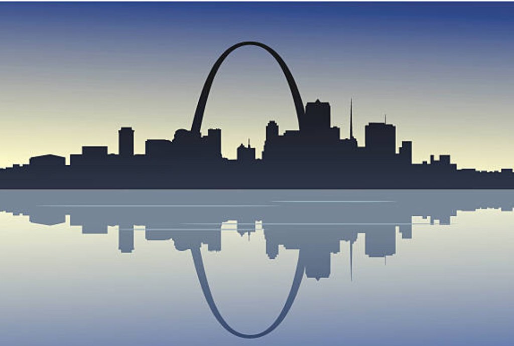
St. Louis


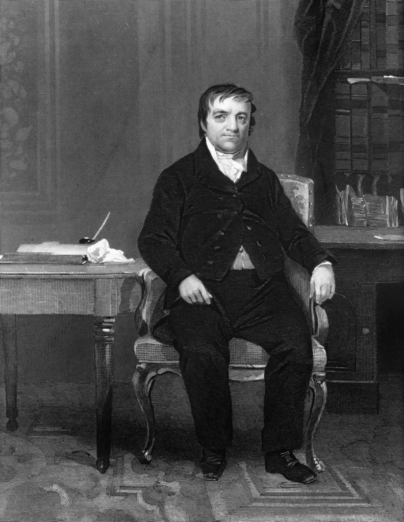
“Buy on the fringe and wait. Buy land near a growing city! Buy real estate when other people want to sell. Hold what you buy!” – John Jacob Astor

When investing in real estate, ideally, one hopes to attain benefits such as: a) low acquisition cost, b) limited tenant problems, and, c) steady appreciation. A-B-C. One way to arrive at A-B-C is often overlooked.

A-B-C created America’s first multi-millionaire, John Jacob Astor. However, pursuing a real estate strategy comparable to the one America’s first multimillionaire utilized to become America’s first multimillionaire is not common.

For savvy investors, prioritizing the acquisition of nonperforming properties can be a good route to take. While this is not a process utilized by a majority of owner-occupying home buyers, owning the home you live in correlates to building net worth. For investors. For families.

Equity built up in homes (over time) makes up in excess of 75% of the total net worth for American families.

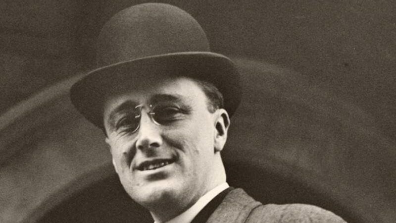
“Real Estate cannot be lost or stolen, nor can it be carried away. Purchased with common sense, paid for in full, and managed with reasonable care, it is about the safest investment in the world.” – Franklin D. Roosevelt


Identifying nonperforming properties available at great prices…

With regard paid to neighborhood stabilization and community development, land banks play an important role. They acquire – then convey – non-performing properties to those who can transition nonperforming properties into performing properties. Land bank properties can be acquired at prices which are less than market rate prices.

According to a report put forth by the Brookings Institute a few years ago, just about 15% of land in American cities is vacant. Vacant land can be categorized as nonperforming. In that vacant land does not generate property tax revenue. All the while, property taxes function as a vital source of revenue for cities.

Property taxes. A lack thereof?

Reduced property tax receipts impede the sustainability of any city. Reduced property tax receipts are one byproduct of nonperforming properties.

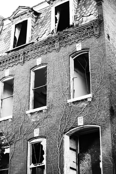
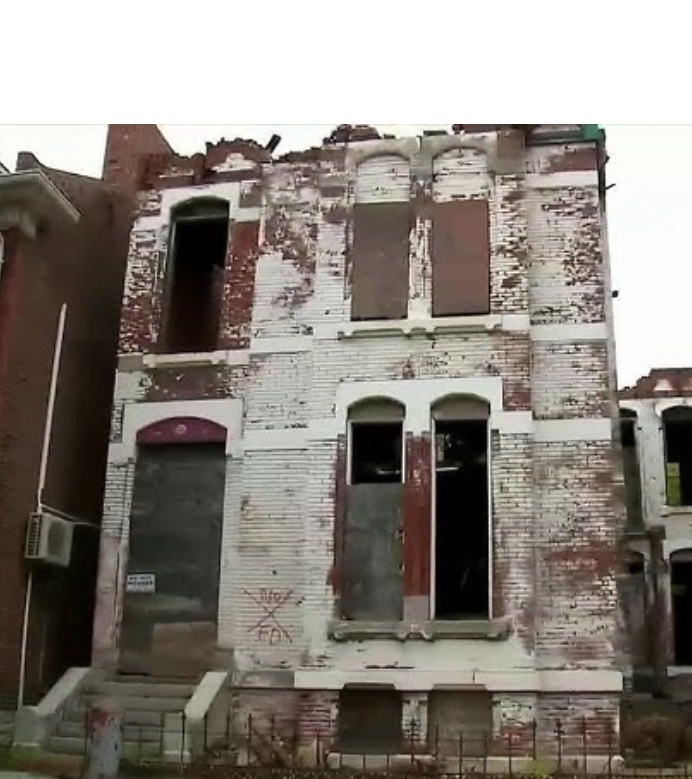
Nonperforming properties…let’s look at St. Louis.

Over the years, St. Louis took possession of in excess of 10,000 nonperforming properties. Residential homes. Vacant lots. Vacant buildings.

By conveying properties the city took possession of to developers, St. Louis alleviated having to operate as a de-facto property manager. Snow removal. Mowing lawns. Boarding up buildings. Tasks transferred in St. Louis to developers.

How so?

Not the conventional way. Neither St. Louis nor land banks use Realtors to sell properties. So let’s look at how St. Louis conveys properties.

Land Reutilization Authority…

The origin for St. Louis’s Land Reutilization Authority – LRA – is found in Title 1 of the Housing and Community Development Act of 1974. In the beginning, funding for the Land Reutilization Authority came through HUD.


The process in St. Louis…

To acquire a Land Reutilization Authority property, buyers complete an Offer To Purchase Form. Buyers submits Offer To Purchase Forms to the LRA, along with two most recent pay stubs, the prior year’s W2 and tax return and the buyer’s most recent bank statement. Buyers also discloses their funding source. A bank. mortgage company. Cash on hand. A Planning Sheet is attached to each buyer’s Offer To Purchase Form.

The Planning Sheet is an overview. The Planning Sheet provides details pertaining to the buyer’s vision for how they plan to improve the property.

The conveyance of city-owned properties and land banks properties happens at the local level. Procedures vary. City by city. Town by town.

At the federal level, an important “tool” used to facilitate the conveyance of properties through land banks became available in 2008.

Resulting from the Financial Crisis, Congress passed the Housing and Economic Recovery Act of 2008. The Housing and Economic Recovery Act appropriated $4 billion to address abandoned and foreclosed properties.

The Housing And Economic Recovery Act of 2008 later became the Neighborhood Stabilization Program. Commonly known as NSP.

One year after the NSP went into effect, Congress appropriated an additional $2 billion to address vacant and abandoned properties. Through the NSP.

The NSP provided the framework – and the funding mechanism – cities relied upon to create programs designed to combat problems arising from increasing numbers of nonperforming properties. A problem amplified by the Financial Crisis.


One approach used in St. Louis to lessen neighborhood blight was the Dollar House Program. To provide the Dollar House Program with inventory, the LRA placed properties in the Program which were owned by the LRA for at least five years.

The Dollar House Program provided owner-occupant applicants with an opportunity to inspect LRA homes. Upon completing inspections, buyers then established rehab budgets. After which, buyers were able to submit their applications to the LRA.

Buyer applications underwent board review. Should a buyer have been deemed to have met Program qualifications, with board approval, within 120 days buyers were expected to, a) stabilize the home, b) improve the facade, and c) follow building codes.

Renovation of Dollar House Program homes needed to be completed within 18 months. Furthermore, the buyer of the LRA home was required to live in their home for at least three years. Once they completed the rehab.

The LRA held a quitclaim deed to properties. Enabling the LRA to regain possession of properties should requirements established by the LRA not be met by buyers. The LRA was able to extend timelines for rehabs which took longer than 18 months to complete.

Buying a distressed home in St. Louis? Buying vacant land in St. Louis? Buying a rundown apartment building in St. Louis?

Some perspective…

Long, long ago, John Jacob Astor saw something he liked in an overlooked, sneered-upon, not-too-desirable piece of land. That then nonperforming piece of land that John Jacob Astor liked – then purchased – proved to be a decision which anchored his trajectory towards becoming America’s first multi-millionaire. This was a piece of land all know quite well.

Where was this land located?


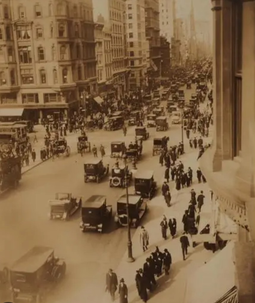
Beginning in 1799, John Jacob Astor began to acquire vast amounts of land in New York City. Astor went on to become New York’s biggest landlord. Astor owned land in what today we know to be Times Square. And the East Village.

John Jacob Astor’s real estate was the backbone to his wealth.

When John Jacob Astor began buying Manhattan real estate, the population of New York City was 60,000. Fifty years later, New York City’s population exceeded 500,000.

“Buy on the fringe and wait. Buy land near a growing city! Buy real estate when other people want to sell. Hold what you buy!” – John Jacob Astor

The Navesink and Red Bank


Fine arts and galleries. World class gourmet. Performing arts. The International Beer, Wine and Food Festival. The Guinness Oyster Festival. Red Bank.

And on the north side of this charming Monmouth County town, we find the Navesink River. Eight miles in length, the Navesink is the result of a confluence. This confluence being, the Swimming River and several smaller streams. One of the tributaries of the Navesink River is Shrewsbury River.

The Navesink River and Red Bank. We’ll revisit their longstanding relationship after a trek through Red Bank history. This relationship between a river and a settlement is tantamount to how Red Bank came to be.

The borough of Red Bank derives its name from red soil discovered on banks of the Navesink. Red banks. Red Bank.

A riverside town of just about 13,000 residents, Red Bank’s history was written through receipts received for benefits attributed to the river which touched that settlement’s red banks.

Our Red Bank story goes back to the 17th Century. To long before Red Bank became a town. To long before Red Bank became a borough.

Red Bank as a borough…

Red Bank became a borough in 1908. Created through an act of the New Jersey legislature.

Red Bank as a town…

Red Bank’s history as a town predates its formation as a borough. By thirty-eight years. In 1860 the town of Red Bank was formed. Formed from parts of Shrewsbury Township.

A land sale, a deed, a river and red banks. A land sale consisting of three acres which extended to the “red bank” of the Navesink River established boundaries for a settlement.

A settlement which became a town. A town which became a borough. Red Bank.

Then too, this three acre land purchase in 1736 constituted the naming of Red Bank. “Three acres extending to the red bank of the Navesink River.”

A land purchase. A deed description. And red banks along the Navesink.

Our Red Bank beginning as a trading post…

Red Bank became a trading post ten years after the town of Red Bank had been formed in 1860. In 1870 Red Bank became a trading post.

Red Bank during the 17th Century…

Two hundred years prior to Red Bank’s incorporation as a town, in the 17th Century, European settlers were drawn to this location nearby two rivers – the Navesink and the Shrewsbury.

English and Dutch settlers established trade relationships with Native Americans along these red banks. Native Americans who themselves found favor setting up camp along the Navesink.

The Lenapehoking were Native American tribes who lived in Lenape territory on the Navesink. Lenape territory included this area along the Navesink. As well as land located in what today is New York City, eastern Pennsylvania and northern Delaware. Land along the Navesink which was hunted and fished by Lenape was Navarumsunk.

As English and Dutch arrived in this settlement, Lenape found their new European neighbors to be capable trading partners.

Aside from their ability to set up trade networks with Native Americans, English settlers brought with them familiarity with an industry which had been a “national champion” in Great Britain. Shipbuilding.

In the earliest days of Red Bank, shipbuilding was formative to the local economy. A shipbuilding industry pioneered by English settlers took hold. Developing as the result of a natural circumstance: this was a settlement alongside a navigable waterway.

Through their ability to navigate the Navesink, English shipbuilders benefitted from a fast-growing economy in Manhattan.

As Manhattan’s economy developed around textiles, the Navesink became a convenient channel through which ships coming from Red Bank could reach Manhattan. A trade route, facilitating the transportation of Manhattan textiles.

Come the early part of the 19th Century, as the economy in this region matured, Red Bank shipbuilders found a new beneficiary: those who traveled from Red Bank to Manhattan.

Early on, textiles, tanning and furs produced in Manhattan served as “passengers” onboard ships built in Red Bank. The movement of textiles. Along the Navesink.

During the 19th century, as the populations of New Jersey and New York City grew, as the economies of New Jersey and New York City grew, Red Bank shipbuilders adapted to the changing economy. Transitioning from building ships exclusively to serve the textile industry to building ships to serve the textile industry and commuters. Commuters being, passengers traveling from Red Bank to Manhattan.

One hundred years after that deed recording which noted “three acres extending to the red banks of the Navesink River,” steamboats enter our Red Bank story.

In 1809, regularly scheduled steamboat service going from Red Bank to Manhattan was available.

By the mid-1800’s, traveling to New York City from Red Bank by steamboat became a mainstay. Steamboats could be seen chugging along the Navesink.

Steamboat travel on the Navesink enjoyed a one hundred year run. The very last steamboat set sail from Red Bank in 1931.

Today, the Navesink sits as a beautiful piece within the “Red Bank collection.”

Yesterday, the Navesink sat as the mechanism on which Red Bank’s development was based.

Red Bank and the Navesink. Partners today. Partners yesteryear. Partners for over 400 years.

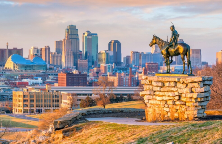
Kansas City


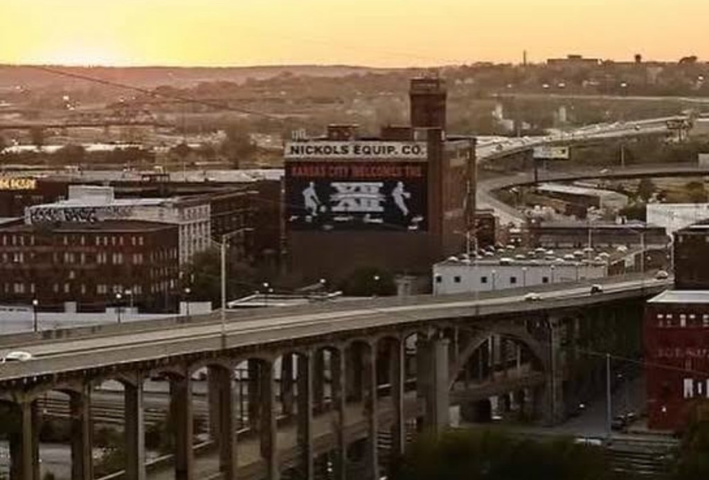
Each year, on the day after Thanksgiving, a crowd of 200,000 or so Kansas Citians partake in a Paris of the Plains Christmas tradition – The Plaza Lighting Ceremony. 

Kansas City’s Country Club Plaza. Named for Kansas City’s Country Club District. The Plaza. A 14-block historic shopping and entertainment district located on the southern end of Kansas City, Missouri. On the northern end of Ward Parkway.

The Plaza…with looks accentuated by fountains. By carriage rides. By statues. By sculptures. By its Spanish architecture. And at Christmastime, The Plaza takes on additional charm.

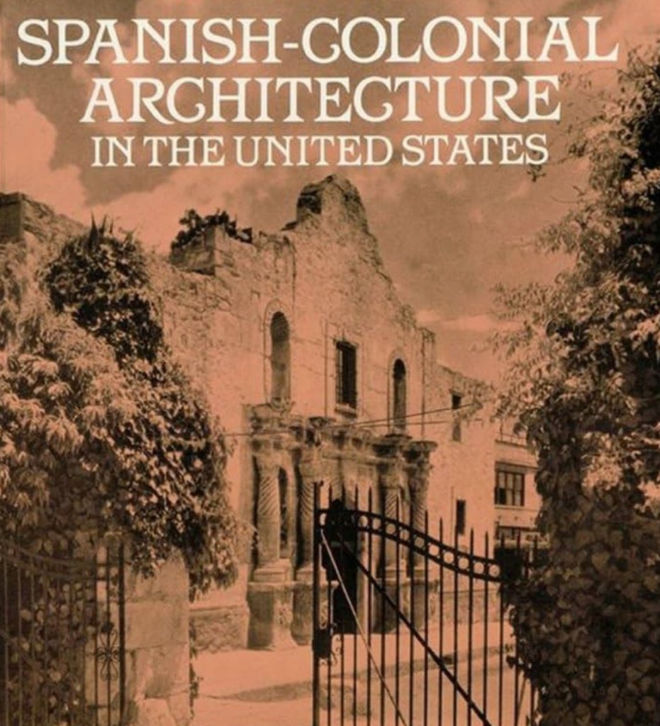
From an architectural standpoint, The Plaza’s design could be categorized as, Spanish Colonial Revival. Or, as Moorish Revival. 


Stamped upon The Plaza is a signature which speaks to Spanish architecture. The Christmas season begins in Kansas City each year in The Plaza with the illumination of this Spanish architecture. The lighting of Kansas City’s “Sevilla.” A Christmas tradition in KC, dating back to 1925. 

Although, in 1925, the “Plaza lighting” would not have been recognized as an occurrence on which a 100-year tradition would (or even could) be based.

The Plaza Lighting Ceremony. 200,000 jewel-toned lights which adorn streets on The Plaza at Christmas.

One of those Plaza buildings with Christmas lights is The Mill Creek Building. On Mill Creek Parkway.

And it is this Mill Creek Building which provides us with our story for the tradition of The Plaza lighting.

Kansas City’s Mill Creek building was the very first building ever constructed on The Plaza. 

Built in 1923, at the time of its construction, The Mill Creek Building was not known as The Mill Creek Building. No, when The Mill Creek Building was built, The Mill Creek Building was the Suydam Building.

The look for the Suydam Building was introduced to Kansas City by an architect from New York. Edward Buehler Delk. 

Edward Buehler Delk arrived in Kansas City five years before the first “Plaza lighting” took place. Delk arrived in Kansas City in 1920. Coming to Kansas City to work for a real estate developer – J.C. Nichols. 

Implementation of the style used by Edward Buehler Delk to plan out The Plaza for J. C. Nichols was attributed to trips Delk took to Spain, to Mexico and to South America. Delk absorbed architectural styles he liked in each locale, then conveyed those styles to Nichols. To be used for Nichols’ Plaza.

The look of The Plaza – and of the Suydam Building – is a look more likely to be found in southern California than in the Midwest.


Edward Buehler Delk – he whose architectural vision fostered the Suydam Building, as well as The Plaza – favored styles he took in on his trips to Spain, Mexico and South America. Styles which can be categorized as Spanish Colonial Revival. Or, Moorish Revival.

In later years, Edward Buehler Delk went on to design Kansas City buildings for Frank Lloyd Wright.

Going back to The Mill Creek Building…

Kansas City’s Mill Creek Building – The Plaza’s first building – holds a special place in Plaza lighting history. As The Mill Creek Building – the Suydam Building in 1925 – is where our tradition of “the lighting” began.

The very first “Plaza lighting” was unintentional happenstance. No grandiose planning. This which spawned a one hundred year tradition in Kansas City arose from quite a humble beginning.

In 1925 it was a maintenance worker, a maintenance worker employed by J.C. Nichols’ company – this maintenance worker, Charles Pitrat – who hung one, single strand of Christmas lights on the Suydam Building.

Hundreds of thousands partake in Kansas City’s Christmastime tradition on The Plaza. A tradition started by a maintenance worker. A maintenance worker who hung one single strand of Christmas lights on one building. The first building built in The Plaza. Designed by an architect on whose influence The Plaza is based. 

The Suydam Building. Now, the Mill Creek Building. 4634 – 4644 Mill Creek Parkway. Kansas City, Missouri. The Plaza’s first building. The first Plaza lighting.

Delk designed the building. Nichols built The Plaza. Lest we not forget when visiting The Plaza this time of year that it was a maintenance worker who hung that first stand of lights.

The prominent architect. The iconic Kansas City developer. And the maintenance worker. Our forefather for the lighting of The Plaza would be our maintenance worker, Charles Pitrat.

Kansas City


As a city, Kansas City trails only Paris with regard to each’s fountains count. The City of Fountains, as Kansas City is lovingly known to be, has over 200 fountains.

Some of those beautiful fountains in KC can be found near Kansas City’s majestic Union Station. From Union Station, take The Link over Grand Boulevard, and you arrive in the very heart of Crown Center.

At Christmastime, the beauty we find in Crown Center’s collection of fountains is accentuated by a special, special scene. Christmastime skaters.

For over fifty years Crown Center has been home to Kansas City’s original ice skating rink, Crown Center Ice Terrace. A staple for all who enjoy a Paris of the Plains Christmas.

Crown Center…

One of Kansas City’s true crown jewels would indeed be Crown Center. Another of Kansas City’s crown jewels would be the iconic corporation to which the fortunes of Crown Center Ice Terrace – as well as Crown Center itself – are owed. Hallmark. 

Each of our two Kansas City treasures – Crown Center and Hallmark – find their histories’ foundations in J.C. Hall. 

J.C. Hall…

As Kansas City continues to redevelop its downtown into one of the very finest downtowns in all of America, the wave of downtown redevelopment we see in Kansas City today also adopts into the club of downtown redevelopment leaders our forefather to Crown Center and to Hallmark, J.C. Hall.

While the focus of this article is not “redevelopment,” today’s Crown Center is very much emblematic of what can happen for a city when a corporate leader – in this case, J.C. Hall – opts to remain within a city’s downtown. Rather than follow (at that time) a trend of abandoning one’s center city roots by relocating to the suburbs.

The very beginning for Kansas City’s Crown Center goes back to a late 1960’s redevelopment plan. A redevelopment plan anchored through J.C Hall’s Crown Center businesses. A redevelopment plan which also received contributions from another iconic Kansas Citian, Walt Disney.

J.C. Hall. The one time door-to-door Avon salesman from Norfolk, Nebraska. Our Crown Center forefather.

J.C. Hall’s career evolved. From selling makeup, door-to-door. To selling postcards. And it was those postcards that J.C. Hall sold early on in his career that would bring J.C. Hall from his Cornhusker youth to Kansas City. And to forefather of Crown Center.

Yet, before we arrive at the company for which J.C. Hall’s “American signature” is forever most commonly linked, a prior step in his Kansas City business sequence…

From postcards. To store. From store, to a grand department store. A grand department store in Crown Center.

Halls Department Store…

J.C. Hall began his career in Kansas City by selling his postcards. Later, adding greeting cards to his product offering. In time, J.C. Hall would go on to open that first store in Kansas City. The store from which he could sell his postcards. And his greeting cards too. This store that J.C. Hall opened in Kansas City would go on to become Halls Department Store.

Halls Department Store started out as a specialty store. With J.C. Halls offering much more of a retail collection than simply postcards and greeting cards. Yet those postcards and those greeting cards would certainly prove to be stalwarts to a J.C. Hall Crown Center icon. An icon that would go on to become a global brand. Hallmark.


At its origin, Halls Department Store stocked expensive, high-quality items. Favorites for upper echelon Kansas City patrons. In time, Halls Department Store had themselves a prime Country Club Plaza storefront.

Halls Department Store arrived in The Plaza in 1965. Later migrating from The Plaza to the hub of J.C.Hall’s enterprises. To where we find Halls Department Store today. Crown Center. 

Shoppers who visit Halls Department Store – Halls Department Store is owned by Hallmark – are heading over to Grand Boulevard. Halls Department Store. Grand Boulevard. Level 3. In Crown Center.

Crown Center, which also houses the headquarters for the centerpiece to J.C. Hall’s collection. That centerpiece, the “Crown Center nucleus” which benefitted from the experience J.C. Hall attained early on by selling his postcards? And his greeting cards? That centerpiece, is Hallmark.

J.C. Halls founded Hallmark Cards in 1910. 

Hallmark Cards has the same origin as does that of its founder, J.C. Hall. Greeting cards. Postcards.

Hallmark did not start out as Hallmark. Hallmark did not start out in Kansas City.

Hallmark Cards began in 1907 in Norfolk, Nebraska. Originally, as Norfolk Postcard Company.

The iconic Hallmark label was introduced as a stand-alone Norfolk Postcard Company brand eighteen years after J.C. Halls founded his Norfolk Postcard Company in Nebraska. Use of the Hallmark name began in 1928. 

In 1954, the original Norfolk Postcard Company – the company whose origin was the sale of those postcards in Nebraska by J.C.Hall – changed its company name. From its name at that time – Hall Brothers – to Hallmark. 

With Hallmark’s headquarters in Crown Center, with Halls Department Store in Crown Center, with J.C. Hall opting to keep his company in center city Kansas City rather than relocate to the suburbs, the underpinnings for Crown Center’s late-‘60’s redevelopment had been established. Redevelopment for Crown Center officially began in 1968. 

The beginning phase for the redevelopment of Crown Center involved construction of underground parking. As well as the central square. The central square in Crown Center, which is where we find our skaters.

Through redevelopment, Crown Center went on to become a truly unique mixed-use district. Offices. Retail. Theatres. Hotels… Crown Center opened to the public in 1971. Three years after redevelopment commenced.


Today, Crown Center encompasses 85 acres in Kansas City. Union Station. Our National World War I Museum and Memorial. Halls Department Store. Hallmark. Each, located in Crown Center.

Yet, at Christmastime, for so many, the Crown Center experience is best brought home by the ice skating. Ice skating made possible, that is, because one American corporate chief in Kansas City chose benefits bestowed upon his companies through redevelopment. Over a move out of Kansas City, to the suburbs.


So those happy skaters in Kansas City can thank a former door-to-door Avon salesman from Nebraska for their ice time fun.

They can thank J.C. Hall. Forefather of Crown Center.

Rottweil, Germany


The history of today’s Rottweil, Germany goes back to Roman times. Its origin, finding itself in the year 73 AD. To the days of the Roman Empire. To days when Romans governed the region we know today to be Rottweil, Germany. In Roman times, Rottweil had been known as Arae Flaviae. 


In German, Rott means, a settlement located on a steep bank. In German, Rott means, a clearing. In knowing the meaning of Rott, Rottweil – nestled between the Alps and the Black Forest…containing our prefix, Rott – is aptly named.

What today we know to be Rottweil possesses a history which goes back to Roman times. Our prefix of Rott, derived from Old High German.

Old High German was the earliest stage of the German language. The common language in the region from 500 AD to 750 AD.

Today, Rottweil is a German town with a population of 25,000. Rottweil is part of the German state of Baden-Württemberg.

The very beginning for Rottweil dates back to 75 AD. In 75 AD, this settlement which later would go on the become Rottweil took hold long, long before Germany became a country. This settlement began long, long before 26 then-independent Prussian states joined together to form Germany. The very beginning for Rottweil goes back to long, long before there even was a Kingdom of Germany.


Rottweil, Germany.

In 1871, the town of Rottweil officially became part of the German Empire. Rottweil is one of Germany’s original towns.

Rottweil became a German town when Wurttemberg joined a newly-forming German nation. This happened in 1871.

Up through 1871, Rottweil had been part of the independent Prussian state, Wurttemberg. Wurttemberg was among the Prussian states that united to create Germany.

Eighty one years after Wurttemberg joined the German Empire – bringing Rottweil along with it – Rottweil became a Baden-Wurtemberg town. A status Rottweil holds to this day.

Rottweil is a German town. Rottweil is also a German district. 

While 25,000 Germans live in the town of Rottweil, 150,000 Germans live in the district of Rottweil.

A town and a district. Rottweil too is the source for which one of the world’s favored dog breeds is named. The Rottweiler.

In Germany, the Rottweiler was originally known as Rottweiler Metzgerhund. In German, Rottweiler Metzgerhund means, Rottweil butcher’s dog.


During the 19th Century, Rottweilers were used by butchers in Germany in the transportation of a butchers’ meat. Rottweiler, “the Butcher’s Dog.”

Aside from being a butcher’s helper, the Rottweiler’s job during Roman times – a job the Rottweiler held throughout the 19th Century in Germany – was to herd and protect livestock.

Cattle-herding extraordinaire. Pulling butchers’ carts to market. The Rottweiler.

Accompanying a butcher when the butcher went to market, on their way back home from the market, a butcher would tie a belt – with his money in the belt – around the neck of his Rottweiler. For safe keeping. 

Rottweil’s most famous contribution -“the Butcher’s Dog” – has a long and storied history.


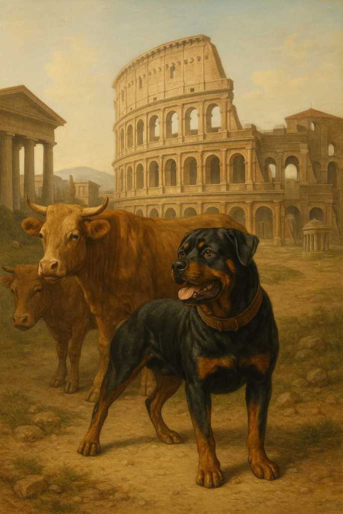
And Rottweiler history goes way, way, way back. To long before there ever was a Germany. Rottweiler history goes all the way back to the Roman Empire. To a time when Rottweilers traveled alongside Roman soldiers. 

In those early days of Rottweiler history, in days when Romans – not Germans – lived in what one day would go on to become Rottweil, Rottweilers trekked the Alps with Romans.

As Rottweilers later did in Germany, during Roman times, Rottweilers herded and drove cattle. For Roman armies.


Roman armies were mobile. Traveling from region to region within the Roman Empire. As roaming armies, cattle was a primary food source for Roman soldiers. Driving and protecting cattle was the job of the Rottweiler. 

Rottweilers led and protected this vital food source for Romans. Protecting Roman cattle from countryside predators. Predators who would, should they be left unintimidated, thin a herd. A thinned-out herd would lead to a reduced food supply for Roman legions.

The Rottweiler. Roman ally. Butcher’s helper. Protector. Herder. Companion.

Rottweilers protected cattle in Roman times. Rottweilers protected cattle during the days of the Kingdom of Germany. Rottweilers protected cattle during the days of the German Empire. Rottweilers protected cattle in Germany, after Germany became a country in 1871. 

Rottweiler. “The Butcher’s Dog.” Family companion in so many American homes. Including, in my own home. 

Kansas City’s American Royal


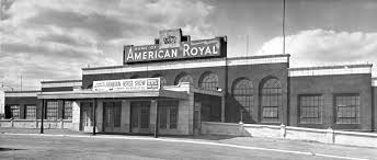
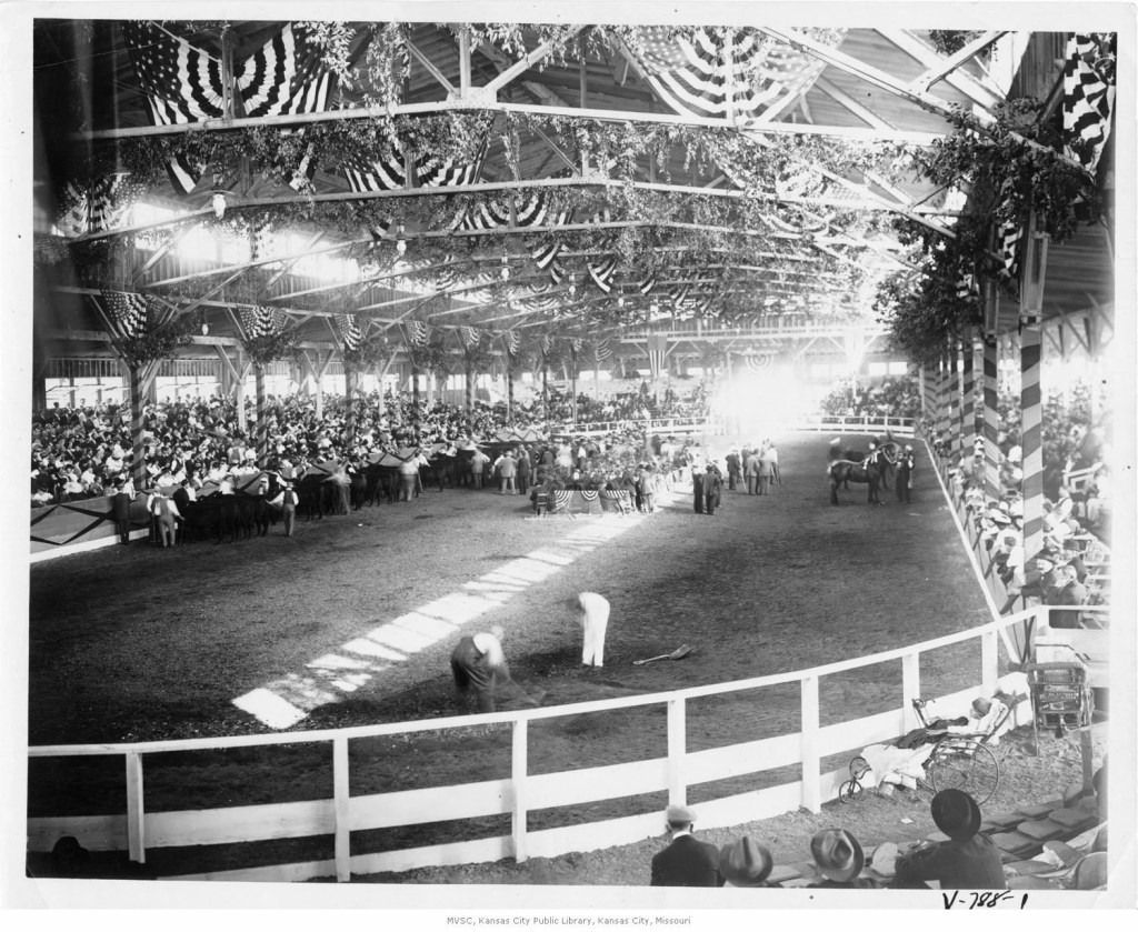
In 1899 there was a cattle show which took place in Kansas City. At Kansas City Stockyards. Eight years later, a horse show was added to this Kansas City venue.

The cattle show. The horse show. We have our foundation for Kansas City’s American Royal.


Horse shows. And Rodeos. Lest us not forget the barbecue World Series.

Kansas City’s World Series of Barbecue is the largest such barbecue competition in the world. Needless to say, the Barbecue Hall of Fame is located in Kansas City. At American Royal. 


The World Series of Barbecue is a weekend-long November event which includes venues such as The Backyard Barbecue and Steak Cook Off and the World Series of Barbecue Sauce Contest. 

Barbecue and Kansas City. An American “marriage,” akin to that of peanut butter and jelly. That cattle show – held in 1899 -started it all off. 

With regard to American Royal cattle exhibits, these began as the National Hereford Show.

The National Hereford Show provided an opportunity for ranchers to show of their purebred cattle. This exhibit…then followed by the sale of cattle to buyers.

The rodeo, American Royal-style…

For the past 75 years, when the spring rolls around, American Royal plays host to ProRodeo…and there is much to take in at a KC rodeo.

The American Royal bull riding competition…

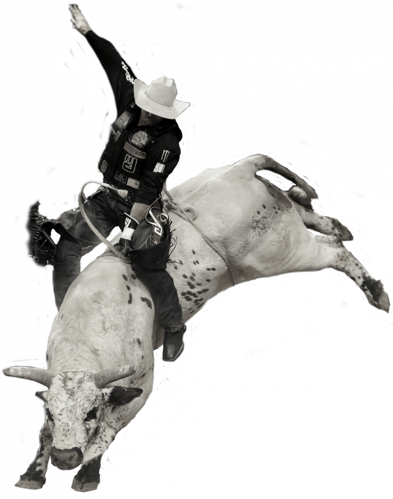
With bull riding competition, a rider needs to remain on the bull for a minimum of eight seconds. Each bull ride is judged. There is a point system. As well as a final score. The rider’s score…determined by judges. 

Bull riding scoring ranges from a low score of 1 point, to a 100-point maximum.

Bull riding scoring is based upon ride difficulty – I.e.: how difficult the bucking bull is to ride – coupled to the level of control a rider demonstrates.

Bull riding…here is where we find rodeo clowns.


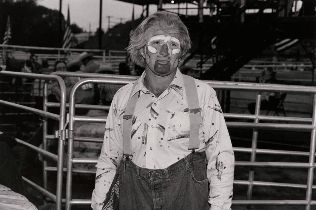
Rodeo clowns – known as “bullfighters – are there to distract the bull once the rider is jettisoned. Oh, the rider will likely be jettisoned. Ideally, after an eight second ride. 

Bulls tend to be aggressive. Bulls are also highly unpredictable. Rodeo clowns are there to function as a distraction to the bull. A precaution. To protect the rider.

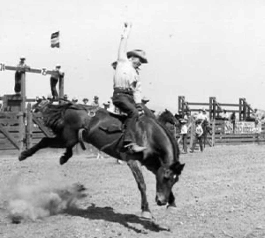
Bareback riding in KC at American Royal…


Bareback riding is horseback riding. Bareback riding is accompanied by quite a formidable challenge: the bucking horse.

A bucking horse…onto which the rider needs to hang on. Hang on, that is, for just as long as a bull rider needs to hang on: eight seconds. 

Each bareback ride is judged. Judged, taking into account how difficult the horse was to ride. Coupled to the level of control the rider demonstrates.

Bareback riding at American Royal is a competition. Each bareback ride is judged. As is the case for American Royal’s bull riding competition, bareback riding scoring ranges from 1 to 100 points. 

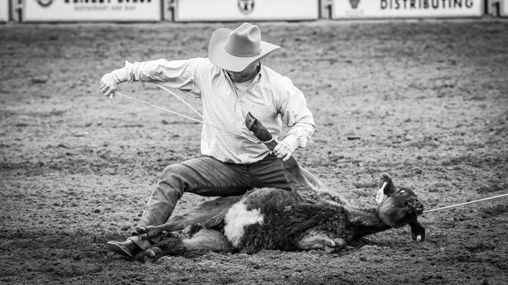
American Royal steer roping…


Steer roping is a timed event. With steer roping, the cowboy, atop his horse, must lasso a Corriente steer. Once the steer is lassoed, the cowboy ties his rope to his saddle. 


With his steer lassoed, then tied to the cowboy’s saddle…the dismount.

Steer roping competition is all about timing. Steer roping is about, how long it takes the cowboy to tie three of the steer’s legs together. The fastest time wins.

Revisiting the World Series…

Harrisburg, Pennsylvania’s Chunky BBQ is the reigning World Series champion of barbecue.

Each year, with its array of events, American Royal plays host to just about half-a-million attendees. While KC’s BBQ World Series draws in excess of 60,000 to this fabled cookout-for-champions.

Emporia, Kansas


In east central Kansas, at the junction of the Cottonwood River and the Neosho River, you’ll find the foothills of the Flint Hills. Emporia, Kansas. The very beginning for Emporia…a $1,800 land purchase.

This original land purchase encompassed an area within Emporia which stretches from what today is Emporia’s 6th Street to 18th Avenue. Due northwest, of this article’s topic.

Founded in 1857 as a trading post along the Santa Fe Trail, one can hypothecate that “DNA” for the Emporia one sees today took hold during the 1960’s. 

In 1969, the Tyson plant in Emporia opened. Opening after a two-year period of thorough plant modernization, and expansion. That Emporia Tyson plant which opened in 1969 was not yet Tyson. This plant, at that time, had been IBP – Iowa Beef Processing. 

The decade of the ‘60’s brought with it notable innovation in the American beef business. Leading to increases in investment in America’s beef industry. Which significantly reshaped the economy for the Great Plains. In which, Emporia resides. 
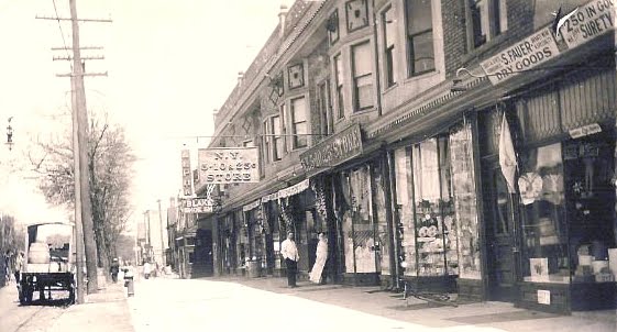
IBP’s plant in Emporia opened in 1969. And it was the sale of this plant to IBP two years prior to the plant’s opening – the sale of the plant to IBP taking place in 1967 – which foretold of innovation in America’s beef processing industry.

In 1967 Armour and Company sold their Emporia-based beef processing operation to IBP. IBP’s plant modernization – completed two years later – was emblematic of this decade of innovation.

Emporia is nestled within the Great Plains along I-35. Between Wichita and Kansas City. For this piece, I’d like to cite one unique 19th Century paradigm which, one can argue, led to Emporia’s evolution as a beef processing hub. And then, so too, to the emergence of major Midwest beef processing centers situated throughout the Midwest.


One hundred years prior to the sale of that Armour and Company Emporia plant to IBP, the British Empire made up just about one quarter of the world’s GDP. In the 1860’s, a severe plague broke out in Great Britain. Curtailing Britain’s domestic beef industry. Reducing the total number of heads of cattle which could be brought to market within the British Empire.

While over half of all revenues in 1860 for the British Empire flowed to London through Great Britain’s expansive “outposts,” those living on the British Isles themselves back home loved their beef.


England. Scotland. Wales. Ireland. As well as thousands of smaller islands. The British Isles. Enter a beef shortage. Coupled to, no let-up in the demand for beef within Great Britain. 

As this epidemic ravaged Great Britain, domestically raised cattle – cattle which could have been brought to market in Great Britain – took a hit. Less cattle. Less cattle going to market in Great Britain. The beef shortage.

At this same time, across The Pond in the United States, the Great Plains was opening up to commercial interests.

Great Britain recognized this confluence of events: a) a beef shortage in Great Britain, plus b) the opening up of thousands of acres of prime cattle-grazing land in the United States.


With the beef shortage taking hold in the world’s largest economy, the price of beef shot up. Elevated beef prices lead to investment opportunities. Then. And now.

Prior to an increase in beef prices, American businessmen were already deploying capital to develop the United States cattle industry. Deployed capital which led to modernization for, and the growth of, American cattle business on the Great Plains. Enter additional capital. From London.


Increased demand. Higher prices. Investment. The build-out of the cattle industry on the Great Plains. Yet still, in 1860, transportation lines for Midwest cattle had yet to be modernized. Inhibiting efficiency for the market.

While grazing land in the Great Plains further opened up to American ranchers, a notable degree of capital was flowing to the Plains from across The Pond. Coming from British financiers. This capital infusion fueled the growth of – as well as modernization for – the American cattle industry. As investments made by Great Britain to facilitate the transportation of cattle led to investment in railroads, the very means by which the shipment of cattle took place incurred new efficiency.

While buyers of beef were (and are) concentrated in urban centers – and for Great Britain, across The Pond – United States stockyards were (and are) located in America’s Midwest. So too, is Emporia.

Investment in railroads – by the United States government, and by British financiers – connected urban centers – I.e.: buyers of beef – to beef supply – I.e.: stockyards. In fact, many early stockyards evolved through partnerships struck between railroads and the cattle industry itself.

Timing…

Emporia was founded in 1857. Thirteen years later, in 1870, Emporia was incorporated.

Emporia was founded not long before the aforementioned bout of anthrax gripped the domestic British cattle industry. Leading to…Britain’s shortage of beef.

This beef shortage checked the world’s largest economy. Driving down the number of heads of cattle which came to market in Great Britain. While at the same time, driving up the price of beef. As demand for beef remained constant.

The curtailing of production of domestic beef in Great Britain – the anthrax – coincided with the opening up of the Great Plains to ranchers in the United States. Fueling investment. Leading to improvements made in the transportation of cattle by rail. Leading to the prioritization of investments in railroads. And in beef processing centers. 

By 1870, two railroads reached Emporia. The Atchison, Topeka and Santa Fe Railway. And the Union Pacific Railway. Emporia became a booming railroad hub. As well as a cattle industry center, at that.

Railroads’ have unique American relationship to our cattle industry. And to Emporia.

Driving through Emporia today, one can’t help but recognize our correlative railroad-to-cattle industry linkage.


Cattle sales are held in Emporia every Wednesday. Held at Emporia Livestock Sales on Albert Street.


The Emporia Livestock Sales building is nearby train tracks. Tracks which are owned by BNSF. These BNSF train tracks in Emporia enable freight to be transported from California to Chicago.


Standing in front of the Emporia Livestock Sales building, looking to the south, you’ll see the Tyson plant.

That old Tyson plant in Emporia – where my aunt Rita worked for over 30 years – is, just like the Emporia Livestock Sales Building, located alongside Emporia’s BNSF train tracks. BNSF’s Southern Transcon line. 

This Midwest connection of stockyards to urban centers. The railroad and the cattle industry…

Stand atop the Prairie Street Bridge in Emporia. Look down. BNSF’s Transcon tracks. Look to the north. Emporia Livestock Sales. Look to the west. The former Armour plant. Which became the IBP plant. Which then became the Tyson plant…where Aunt Rita worked for over 30 years.


We can attribute this Emporia story to the opening of the Great Plains to ranchers. Yet there was also was that epidemic in Great Britain to think about.

As such, Great Britain, some may argue, is an unseen hand, contributing to the history for Midwest beef processing plants. Beginning in 1860’s.

Then, so too, Great Britain would be a catslyst, an oft overlooked forefather, one may say, which added their own special contributions…collectively making up Emporia’s unique and rich American story.

Holmdel Township in the very beginning…


What one could say was the dawn for New Jersey’s Holmdel Township finds its beginning verse in the Monmouth Patent.

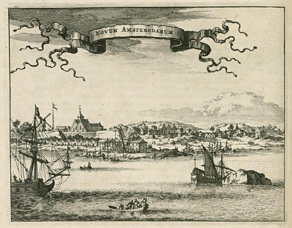
The onset for Holmdel Township started off with the annexation by Great Britain of territory formerly possessed by the Dutch.


This territory – that which had once been the Netherlands’ New Amsterdam – was put under the control of Great Britain’s Royal Crown. As such, the Monmouth Patent enabled conveyances of land to settlers by Great Britain in this new British territory.

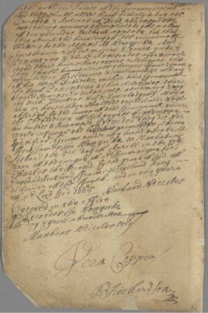
In April of 1665, Great Britain’s deputy-governor for New Amsterdam granted “patents” for a triangular parcel of land located in today’s Monmouth County. This was the Monmouth Patent. This, the tract of land in Great Britain’s New Amsterdam territory which would later become New Jersey’s Monmouth County.


The earliest families to acquire land through the Monmouth Patent in what today we recognize as Holmdel Township had been the Bowne family, the Holmes family, the Cotterell family and the Stout family.

The Holmes family’s tract of land stretched north of Ramanessin Brook to Hop Brook Farm – the Holmes Tract.

John Bowne’s tract of land touched the northernmost boundary of the Monmouth Patent “triangle.”

Eliezer Cotterell received two land conveyances. Cotterell’s first conveyance totaled 100 acres. Cotterell’s second conveyance totaled 130 acres.

Richard Stout acquired a tract of land within the “triangle” which was situated to the east of Ramanessin Brook – the Richard Stout, Senior Tract.

One other such early land conveyance through the Monmouth Patent was the Bray Tract. This, the conveyance of land to a Baptist minister. John Bray.

Fifty acres was the Bray Tract…running from the easternmost portion of the Monmouth Patent “triangle” – at Bray’s Brook – to the east side of Hop Book Farms. 

And it was this 1687 purchase of territory by John Bray which led to the establishment of the first Baptist church in the State of New Jersey. Which was rather symbolically supportive of the Monmouth Patent “exercise” in the first place. As the Monmouth Patent codified religious freedom in this new British territory of New Amsterdam.

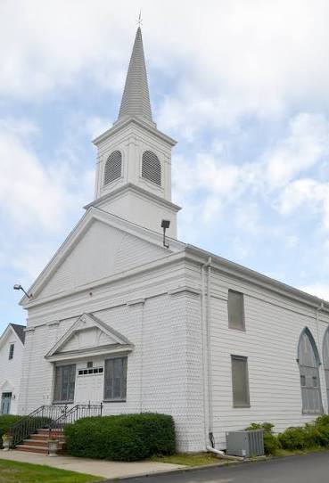
New Jersey’s first Baptist church evolved from this Bray Tract. In time, becoming Middletown Baptist Church. A church located in today what we know to be, Holmdel Township. As Baptists throughout New Jersey can point to their New Jersey origin as being, the Bay Tract.

On land John Bray acquired through the Monmouth Patent, John Bray proceeded to set up Bray’s Meeting House. 

Bray’s Meeting House became a congregation for Baptists. Local Baptists whose house of worship became…Bray’s Meeting House. At the corner what today would be Main Street and Holmdel Road. In Holmdel Township.


As the number of Baptists who resided within and near this new British territory of New Amsterdam in today what we call “Holmdel” grew, in 1709 John Bray donated a portion of his land to the Baptist Church. This land donation by John Bray led to New Jersey’s first Baptist church. This first Baptist church in New Jersey was, at first, known as The Upper Meeting House. 


With The Upper Meeting House established, during the first half of the 18th Century, this farming community of what one day would one become Holmdel Township experienced an increase in the migration of Baptists to the area.

First, at John Bray’s Meeting House, then later, at what would become The Upper Meeting House, Baptists weren’t yet meeting in Holmdel Township. Where Holmdel Road meets Main Street, as Baptists joined together, this was not yet Holmdel Township. At that time, Baptists were meeting in Middletown. There was not yet a “Holmdel.”

What had been Middletown then consisted of all of the territory in Monmouth County north of the Navesink River. And east of today’s Freehold Township. So for nearly 150 years, The Upper Meeting House – at the corner of Main Street and Holmdel Road – was located in Middletown.

In 1848, the expansiveness of what was then Middletown was altered. Middletown was broken up. And parceled out. 


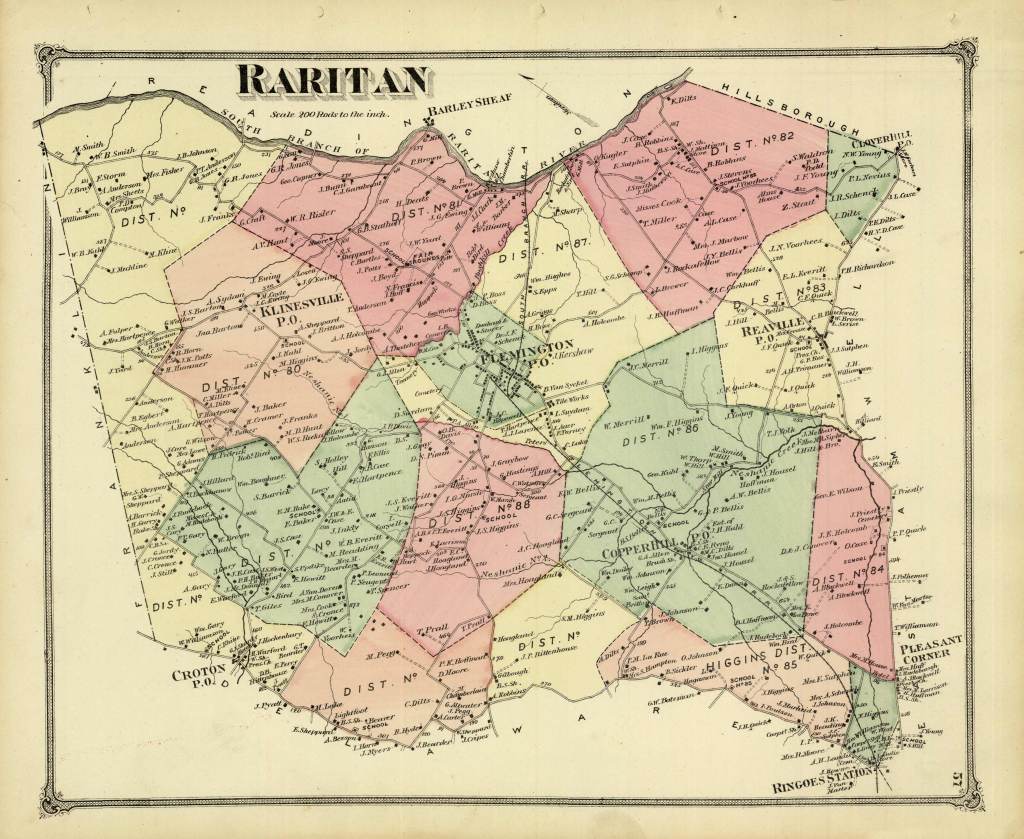
In 1848, Raritan Township was spun off from Middletown. This new Raritan Township consisted of what later would become Hazlet, Aberdeen, Union Beach, Keansburg, Keyport, and Matawan. As well as…Holmdel.

Nine years after Middletown was restructured, in 1857, Holmdel Township officially formed. Formed, through an act of the New Jersey Legislature. 

John Bray originally settled in today’s Holmdel Township in 1684. Three years later, John Bray received his 50 acres. Granted to Bray by New Amsterdam’s acting governor.

The earliest land conveyances made possible through the Monmouth Patent were not enacted through the acts of a full-fledged territory governor. 

In 1664, the British territory made up of what would one day become New Jersey – then, being, New Amsterdam – was governed by a British deputy governor. This British deputy governor in 1664 was Richard Nicolls.


A few years after settling in Monmouth County, John Bray increased his land holdings. Bray purchased two additional tracts of land. These purchases took place in 1688.

The first of John Bray’s subsequent land purchases totaled 130 acres. Bray’s second land purchase in 1688 totaled 30 acres.

Johm Bray’s land holdings – the land grant he received from Deputy Governor Richard Nicolls, coupled to his subsequent land purchases – foretold of the pathway to Bray’s later establishment of his Meeting House. While also foretelling of Bray’s later land donation. To the Baptist church. Leading to, New Jersey’s first Baptist church.

On the corner of Main Street and Holmdel Road.

Belleville, New Jersey

The name Belleville has a French connotation. In French, Belleville means “beautiful town.” To those of us here in the United States, Belleville means, “birthplace of the Industrial Revolution in America.”


Outside of Belleville’s earlier days, well-earned setting within our Industrial Revolution, the origin for what today we know to be Belleville can be traced back to the late-18th Century. Yet then, in those waning years of the 18th Century, today’s Belleville was once, Second River.

In 1797 Belleville’s name was changed. From Second River. To Washington. But that name change – to Washington – didn’t last very long.

This new name – Washington – proved to be unsatisfactory to inhabitants of the old Second River settlement. As such, shortly thereafter, the name change – from Second River to Washington – proved to be the first of two name changes for Second River.

Second River’s name was changed, once again. This time, changed to Belleville. Yet at that time, Belleville was moreso a settlement than it was an organized town.  That changed.

Belleville was incorporated as a New Jersey township 42 years after receiving its name – as Belleville. The year was 1839. This once-a-settlement completed its evolution into becoming a full fledged township in New Jersey by way of an act of the State legislature. The year was 1839. 

Forty-some years prior to the thrice renamings – from Second River, to Washington to Belleville – an occurrence of historical significance took place in this township. An occurrence which cemented Belleville’s place within the annals of an emerging industrial economy in the New World.

You see, Belleville is the official birthplace of America’s Industrial Revolution. Belleville’s position, as such, brought to be through the workings of an 18th Century New World newcomer. A newcomer who arrived in Belleville by way of Great Britain. Josiah Hornblower.


In 1753, Josiah Hornblower was commissioned by his company across The Pond – his company being, Newcomen – to build what would become the first steam engine assembled in the New World. 

And it was the result of this first steam engine that Josiah Hornblower’s link to Belleville, and thus, Belleville’s position as the birthplace of America’s Industrial Revolution, was formed.

Josiah Hornblower traveled from Great Britain to the New World to build a Newcomen steam engine. A steam engine he’d build for the owners of what was then the oldest copper mine in the New World. A copper mine located in Belleville. The Schuyler Copper Mine. 


The Schuyler Copper Mine traces its history all the way back to 1710. 

In 1710 Arent Schuyler purchased a tract of land on which the future Schuyler Copper Mine would be built. The construction of this mine…the byproduct a discovery. This discovery being, copper ore. Copper ore discovered on Schuyler’s land.

This discovery of copper ore coming three years after Arent Schuyler completed his land purchase. This discovery of copper ore taking place in 1713.

The purchase of a large tract of land… The discovery of copper ore… Yet, neither the land purchase, nor the subsequent copper ore discovery directly led to Josiah Hornblower’s arrival in Belleville. Nor did the land purchase, nor the discovery of copper ore, directly lead to Belleville’s designation as the birthplace of America’s Industrial Revolution.

Belleville – as the birthplace of America’s Industrial Revolution – and Belleville – as the Josiah Hornblower’s home- came about because of an act of God. It was a flood.

In 1748, a flood decommissioned the Schuyler Copper Mine. In order to continue on with mining operations, Schuyler Copper Mine – then run by Arent Schuyler’s sons – was in need of a steamship. A Newcomen steam engine, that is.


Newcomen steam engines were manufactured in England. The Schuyler mine was in Belleville. Therein, we find our Belleville link to Josiah Hornblower. And thus, to Belleville becoming the birthplace of our Industrial Revolution.


Schuyler Copper Mine contracted England’s Newcomen to build the steam engine they needed.

Newcomen, located in Cornwall, England, sent Josiah Hornblower across The Pond to assemble this steam engine for the Schuyler Copper Mine. 

Thus arriving, Josiah Hornblower established himself as a Belleville resident. To assemble the Newcomen steam engine for Schuyler Copper Mine. A steam engine which would be used to pump flood water out of Schuyler’s mine.

Thirty-nine years later, the first steam engine was manufactured in the United States. That year was 1794. Tellingly so, the very first steam engine manufactured in the United States was manufactured in Belleville.

In 1797 – three years after the manufacture of the first steam engine in the United States – the first steamboat produced in New Jersey was built by Josiah Hornblower. New Jersey’s first steamboat was built in Belleville.

Two-hundred years after Josiah Hornblower built that first steam engine in Belleville, the Congress passed a resolution recognizing Belleville’s historical role in a then-industrializing United States.

Congress’s 1994 resolution: Belleville, birthplace of our Industrial Resolution.

The late, great Congressman Bill Pascrell was responsible for our Belleville resolution.