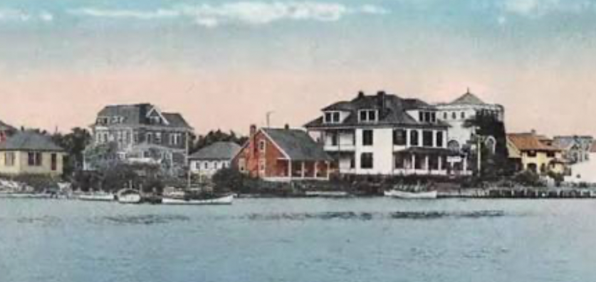
Rumson, New Jersey is a seven square mile New York City bedroom community. Two of those seven square miles consist of water.
Long before Rumson became Rumson, Rumson was Navarumsunk. Or, Narumsum. And later, Ramson’s Neck.
British settlers purchased Navarumsunk/Narumsum – located between the Navesink River and the Shrewsbury River – from the Lenape Indians.
Negotiations for the sale of Navarumsunk/Narumsum began in 1663. Two years later, Governor Richard Nicholls confirmed the sale within constructs available to British Governors through the Monmouth Patent. No longer Lenape territory, Navarumsunk/Narumsum became Ramson’s Neck.
The catalyst for this 1665 land sale was colonial expansion – a British land conveyance.
The British took New Netherlands – in which Navaramsunk/Narumsum was located – from the Dutch. Establishing framework for the land sale.
Britain was led by King Charles II. Charles II granted this land – then controlled by the Dutch – to his brother James, The Duke of York.
The Duke’s real estate holdings stretched from Connecticut to Delaware. Expansive, yet undeveloped. So the Duke enlisted Governor Richard Nicholls to establish settlements.
The Monmouth Patent bestowed upon Governor Nichols the responsibility to attract one hundred settlers within three years to the region. These settlements were to be established in a section of the Duke’s territory which today is Monmouth County, Ocean County and Middlesex County. Governor Nicholls needed one hundred settlements to take hold to prevent the territory from reverting back to the Duke.
To attract settlers Governor Nicholls marketed a benefit: self governance. Settlers were Patentees. Aptly named, as settlements were established according to the Monmouth Patent.
The establishment of British settlements according to the Monmouth Patent ran into a road block in 1674 when the Dutch retook New Netherlands. One year later, the English regained control of New Netherlands. Restarting settlements.
Seven years later, the goal set for Governor Nicholls by The Duke of York – one hundred settlements – was exceeded.
Rumson…
By 1682, four settlements were established near Ramson’s Neck. Ramson’s Neck at that time consisted of thousands of acres of plantations. These Ramson’s Neck settlements, over time, evolved into boroughs. Such as Rumson.
Up through the Revolutionary War, Ramson’s Neck (known as Rumson), Fair Haven, Red Bank, Little Silver and Shrewsbury were part of Shrewsbury Township.
Rumson was part of Shrewsbury until becoming an independent borough in 1907.
What one could say was the dawn for New Jersey’s Holmdel Township finds its beginning verse in the Monmouth Patent.
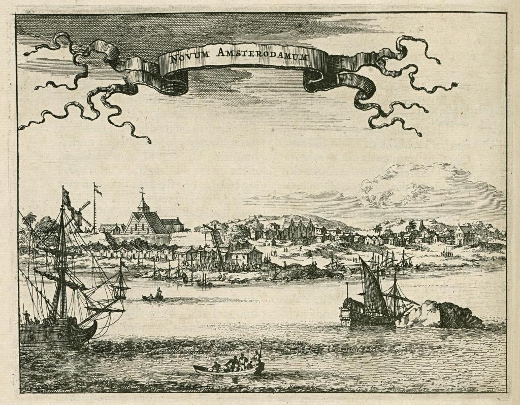
The onset for Holmdel Township started off with the annexation by Great Britain of territory formerly possessed by the Dutch.
This territory – that which had once been the Netherlands’ New Amsterdam – was put under the control of Great Britain’s Royal Crown. As such, the Monmouth Patent enabled conveyances of land to settlers by Great Britain in this new British territory.
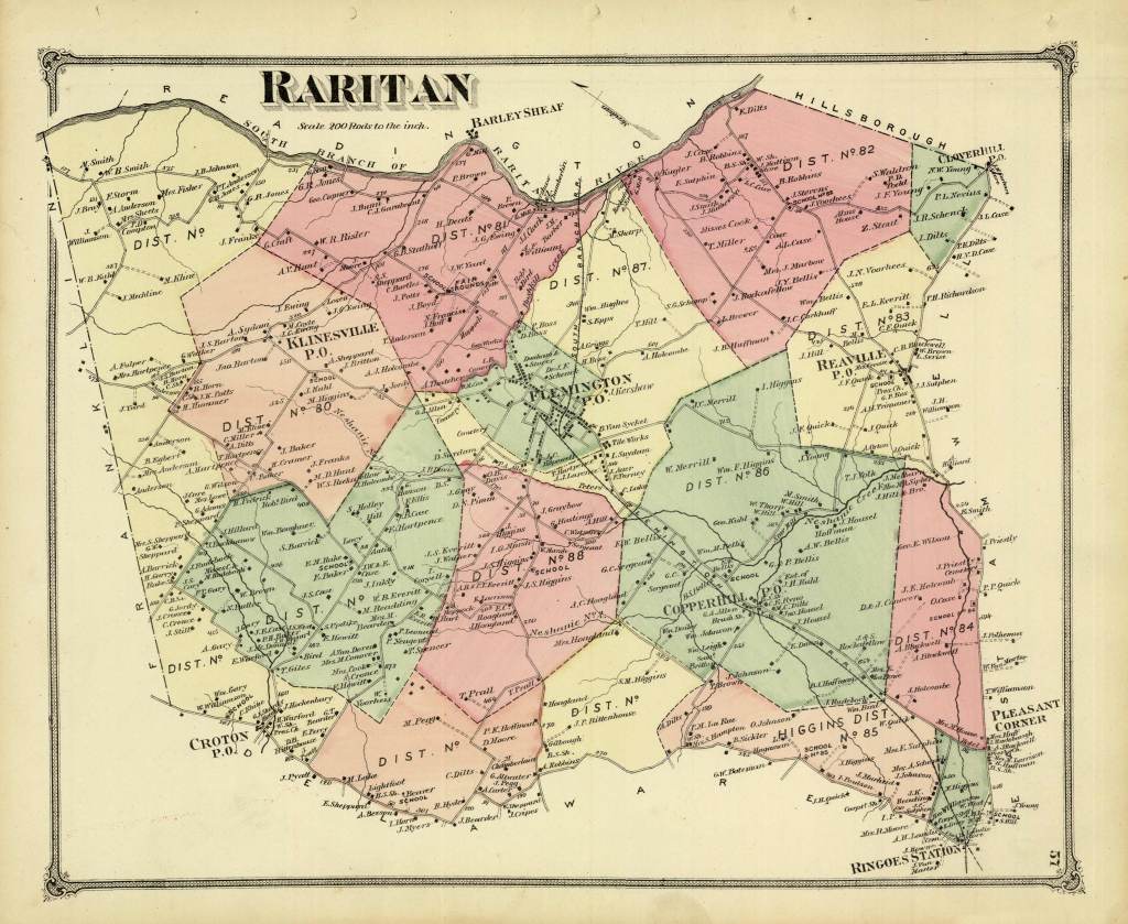
In April of 1665, Great Britain’s deputy-governor for New Amsterdam granted “patents” for a triangular parcel of land located in today’s Monmouth County. This was the Monmouth Patent. This, the tract of land in Great Britain’s New Amsterdam territory which would later become New Jersey’s Monmouth County.
The earliest families to acquire land through the Monmouth Patent in what today we recognize as Holmdel Township had been the Bowne family, the Holmes family, the Cotterell family and the Stout family.
The Holmes family’s tract of land stretched north of Ramanessin Brook to Hop Brook Farm – the Holmes Tract.
John Bowne’s tract of land touched the northernmost boundary of the Monmouth Patent “triangle.”
Eliezer Cotterell received two land conveyances. Cotterell’s first conveyance totaled 100 acres. Cotterell’s second conveyance totaled 130 acres.
Richard Stout acquired a tract of land within the “triangle” which was situated to the east of Ramanessin Brook – the Richard Stout, Senior Tract.
One other such early land conveyance through the Monmouth Patent was the Bray Tract. This, the conveyance of land to a Baptist minister. John Bray.
Fifty acres was the Bray Tract…running from the easternmost portion of the Monmouth Patent “triangle” – at Bray’s Brook – to the east side of Hop Book Farms.
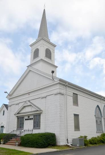
And it was this 1687 purchase of territory by John Bray which led to the establishment of the first Baptist church in the State of New Jersey. Which was rather symbolically supportive of the Monmouth Patent “exercise” in the first place. As the Monmouth Patent codified religious freedom in this new British territory of New Amsterdam.
New Jersey’s first Baptist church evolved from this Bray Tract. In time, becoming Middletown Baptist Church. A church located in today what we know to be, Holmdel Township. As Baptists throughout New Jersey can point to their New Jersey origin as being, the Bay Tract.
On land John Bray acquired through the Monmouth Patent, John Bray proceeded to set up Bray’s Meeting House.
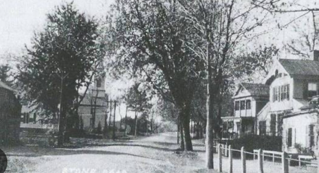
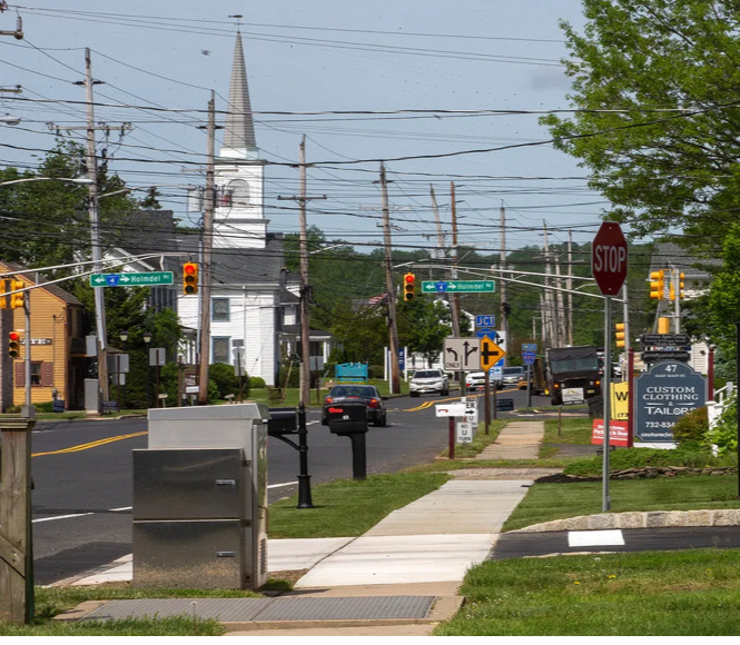
Bray’s Meeting House became a congregation for Baptists. Local Baptists whose house of worship became…Bray’s Meeting House. At the corner what today would be Main Street and Holmdel Road. In Holmdel Township.
As the number of Baptists who resided within and near this new British territory of New Amsterdam in today what we call “Holmdel” grew, in 1709 John Bray donated a portion of his land to the Baptist Church. This land donation by John Bray led to New Jersey’s first Baptist church. This first Baptist church in New Jersey was, at first, known as The Upper Meeting House.
With The Upper Meeting House established, during the first half of the 18th Century, this farming community of what one day would one become Holmdel Township experienced an increase in the migration of Baptists to the area.
First, at John Bray’s Meeting House, then later, at what would become The Upper Meeting House, Baptists weren’t yet meeting in Holmdel Township. Where Holmdel Road meets Main Street, as Baptists joined together, this was not yet Holmdel Township. At that time, Baptists were meeting in Middletown. There was not yet a “Holmdel.”
What had been Middletown then consisted of all of the territory in Monmouth County north of the Navesink River. And east of today’s Freehold Township. So for nearly 150 years, The Upper Meeting House – at the corner of Main Street and Holmdel Road – was located in Middletown.
In 1848, the expansiveness of what was then Middletown was altered. Middletown was broken up. And parceled out.
In 1848, Raritan Township was spun off from Middletown. This new Raritan Township consisted of what later would become Hazlet, Aberdeen, Union Beach, Keansburg, Keyport, and Matawan. As well as…Holmdel.
Nine years after Middletown was restructured, in 1857, Holmdel Township officially formed. Formed, through an act of the New Jersey Legislature.
John Bray originally settled in today’s Holmdel Township in 1684. Three years later, John Bray received his 50 acres. Granted to Bray by New Amsterdam’s acting governor.
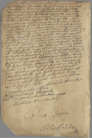
The earliest land conveyances made possible through the Monmouth Patent were not enacted through the acts of a full-fledged territory governor.
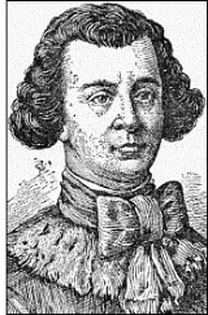
In 1664, the British territory made up of what would one day become New Jersey – then, being, New Amsterdam – was governed by a British deputy governor. This British deputy governor in 1664 was Richard Nicolls.
A few years after settling in Monmouth County, John Bray increased his land holdings. Bray purchased two additional tracts of land. These purchases took place in 1688.
The first of John Bray’s subsequent land purchases totaled 130 acres. Bray’s second land purchase in 1688 totaled 30 acres.
Johm Bray’s land holdings – the land grant he received from Deputy Governor Richard Nicolls, coupled to his subsequent land purchases – foretold of the pathway to Bray’s later establishment of his Meeting House. While also foretelling of Bray’s later land donation. To the Baptist church. Leading to, New Jersey’s first Baptist church.